How to find us
Address
Hochschule für Gesundheit
University of Applied Sciences
Gesundheitscampus 6‒8
44801 Bochum
| Map | travelling by public transport or car |
|---|---|
| Building / floor plan | For orientation on the hsg Bochum campus and in the buildings, please |
| Building / floor plan & map | Both templates can be downloaded here as PDF files |
Directions
By bus & train (recommended)
From Bochum main station take the Campus line U35 in the direction of Ruhr-Universität/Hustadt to the stop "Gesundheitscampus".
When leaving the station, follow the signs "Gesundheitscampus".
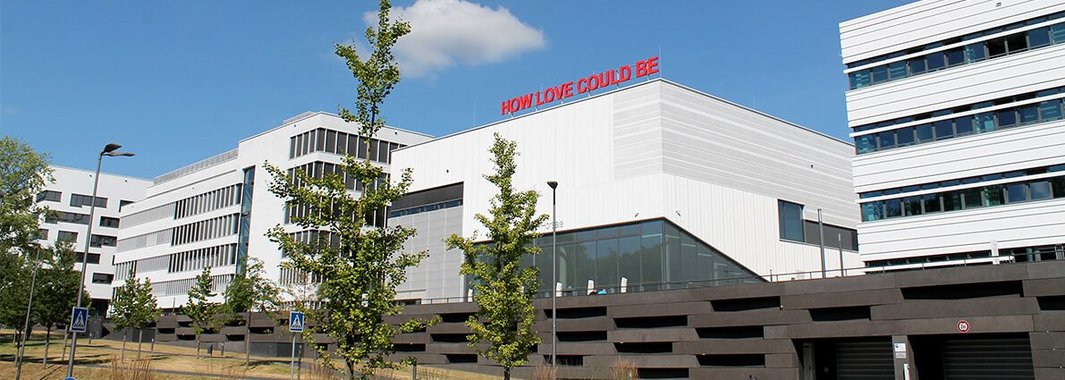
The buildings of hsg Bochum are located on the terrace, which you can reach between the two roundabouts via the stairs or by lift.
By car
- Using your satnav: Address of the public parking lot "Gesundheitscampus Nord". For older devices the address "Oesterende-Straße" may be required. Coordinates: 51.488, 7.24725.
- Via the A40 motorway:
- Coming from Duisburg/Essen: At the motorway junction Bochum-West take the A448 towards Bochum Süd. At the exit "Ruhr-Universität" turn right into the Universitätsstraße. Then follow the signs "Gesundheitscampus" or "HS Gesundheit".
- Coming from Dortmund: At the motorway intersection Bochum take the A43 towards Wuppertal. At the exit "Bochum/Witten" turn right into Universitätsstraße. Then follow the signs "Gesundheitscampus" or "HS Gesundheit".
- Via the A43 motorway: Coming from Recklinghausen: At the exit "Bochum/Witten" turn right into Universitätsstraße. Then follow the signs "Gesundheitscampus" or "HS Gesundheit".
- Coming from Wuppertal: At the exit "Bochum/Witten" turn left into Universitätsstraße. Then follow the signs "Gesundheitscampus" or "HS Gesundheit".


